 Start of Virtual Cruise
|
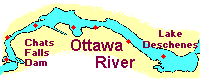
A cruise on this portion of the Ottawa River will likely start in the east at one of the marina/yacht club facilities in the vicinity of Lake Deschenes, and head west towards Mohr Island or Pontiac Bay. As a result, this virtual cruise is designed to be followed from east to west (move from right to left on the clickable map).
 Much of the information provided in the virtual cruise is available in a single self-contained article - see the following Cruising Guide. The virtual cruise does have some extra photos and a little more historical material. However, the article will be handy for people who wish to print out the cruising guide for future reference, or for those individuals with slow internet connections who do not want to follow the virtual cruise on the clickable map. Also, people may want to check out José Campione's excellent article about his cruise on Ottawa River on his Alberg 22.
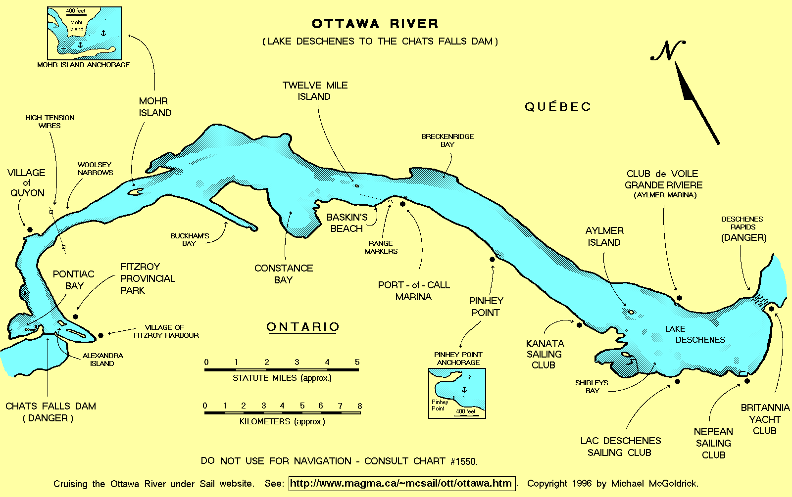
For a larger version of the clickable map without the red dots, see the following Cruising Guide Map. Although this map should not be used for navigation, it is convenient for planning cruises and presenting an overall perspective of this portion of the river. It's also handy for explaining your boat's course on the river to guests and children that may aboard. (Nautical charts can be a little confusing for the uninitiated.)
The map referred to above is a fairly large graphic (1600 x 1005 pixels). If you wish to print out a copy, go to your print options/properties, and select the "landscape" orientation and the "fit to page" option. Another possibility is to download the map and resize it using a graphic program that is capable of handling "gif" files (such as Photo Shop or Print Shop Pro).
Text and graphics by Michael McGoldrick.
[ Copyright & Disclaimer ]
[ Return to Home Page ]
[ Sailquest.com ]
|
|
